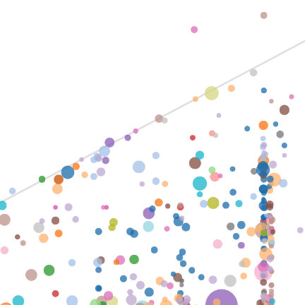
 OSM History of an Element
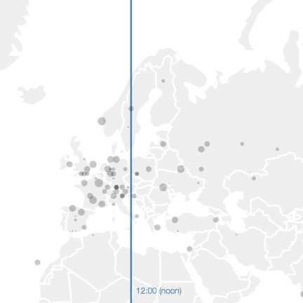 OSM Changes Map
 OSM Tags Word Frequency Wiki
 OSM Tags - Wiki vs. Database
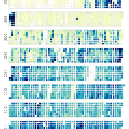 OSM Changes per Day
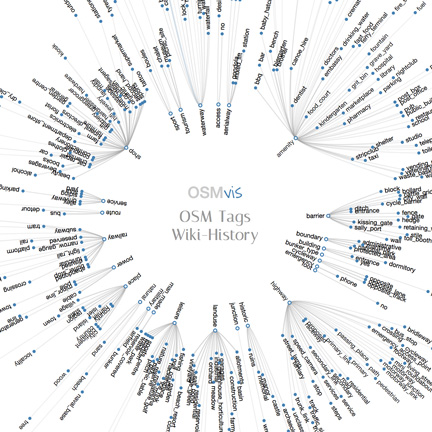 OSM Tags Wiki-History
OSM History of an Element
OSM Changes Map
OSM Tags Word Frequency Wiki
OSM Tags - Wiki vs. Database
OSM Changes per Day
OSM Tags Wiki-History
OSM Tags Wiki-History
OSM History of an Element
OSM Changes Map
OSM Tags Word Frequency Wiki
OSM Tags - Wiki vs. Database
OSM Changes per Day
OSM Tags Wiki-History
http://github.com/mocnik-science/osm-vis
The code is licensed under the GNU General Public License v3.0 (GPL-3).